
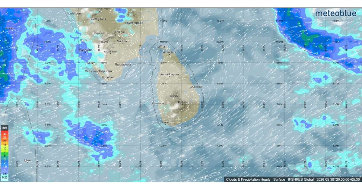
According to the latest forecast, showers will occur at times in the Western, Sabaragamuwa, and North-Western provinces, as well as in the districts of Galle, Matara, Kandy, and Nuwara Eliya. Residents in these areas can expect cloudy skies and periods of rainfall throughout the day.
Meanwhile, showers or thundershowers may develop at a few locations in the Uva Province and in the districts of Ampara and Batticaloa after 1.00 p.m. These thunderstorms may be accompanied by localized strong winds and lightning, prompting authorities to advise the public to take necessary precautions to avoid possible damage and disruptions.
Strong southwesterly winds are also expected to affect several regions. Wind speeds of 30 to 40 kmph may occur at times over the western slopes of the central hills, as well as in the Northern, North-Central, North-Western, and Southern provinces, including the Trincomalee District.
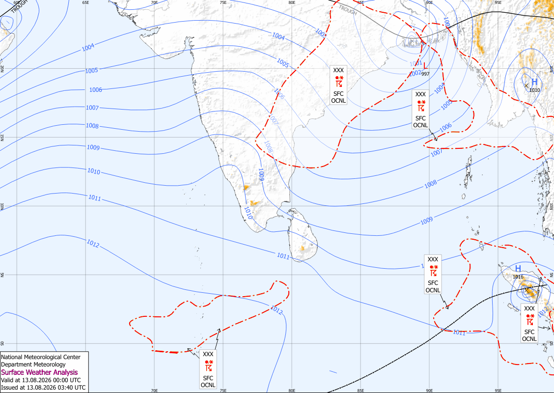
Sea Area Forecast
Marine conditions around the island remain challenging. Showers or thundershowers are forecast in sea areas extending from Puttalam to Hambantota via Colombo and Galle. Southwesterly winds will strengthen significantly, reaching speeds of 60 to 65 kmph at times in the sea areas from Kankasanthurai to Chilaw via Mannar and from Galle to Pottuvil via Hambantota.
As a result, these sea areas are expected to be very rough, while other surrounding waters will be fairly rough. Wave heights may increase between 2.0 and 2.5 meters in sea areas from Kalpitiya to Pottuvil via Colombo, Galle, and Hambantota.
Fishermen, naval operators, and coastal communities are advised to remain vigilant and monitor weather updates, as temporarily strong gusty winds and very rough seas can occur during thundershower activity.