
Sri Lanka Weather Forecast: Heavy Rain, Strong Winds and Dangerous Seas Expected on 1 August 2026
The Department of Meteorology has warned that active Southwest Monsoon conditions will continue to influence Sri Lanka on 1 August 2026, bringing persistent rainfall, strong winds and hazardous sea conditions to many parts of the country. Authorities have urged the public, motorists, fishermen and coastal communities to remain alert as adverse weather is expected to continue throughout the day.
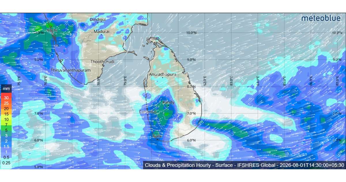
According to the latest forecast, showers will occur at times in the Western, Sabaragamuwa and North-western provinces, as well as in the districts of Kandy, Nuwara Eliya, Galle and Matara. Heavy rainfall exceeding 100 mm is likely at some locations, increasing the risk of localized flooding, waterlogging, falling trees and landslides in vulnerable areas. Residents living near rivers, streams and landslide-prone slopes are advised to closely monitor weather updates and follow instructions issued by local authorities.
A few showers may also occur in Matale, Anuradhapura and Hambantota districts, while mainly dry weather is expected across the remaining parts of the island.
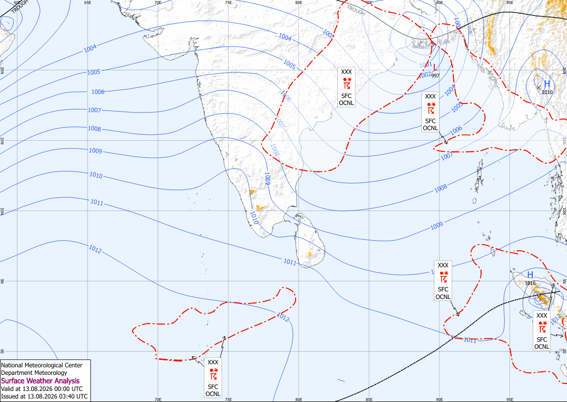
In addition to heavy rain, strong winds remain a major concern. Wind speeds of 40 to 50 kmph are expected at times across the Western, Sabaragamuwa, Southern, Northern, North-central, Central and North-western provinces, as well as in the Monaragala and Trincomalee districts. The Natural Hazards Early Warning Centre has issued a Strong Wind Advisory valid until 11.30 a.m. on 2 August, urging residents to secure loose objects, avoid unnecessary travel during periods of strong winds and remain cautious of falling branches, damaged structures and temporary signboards.
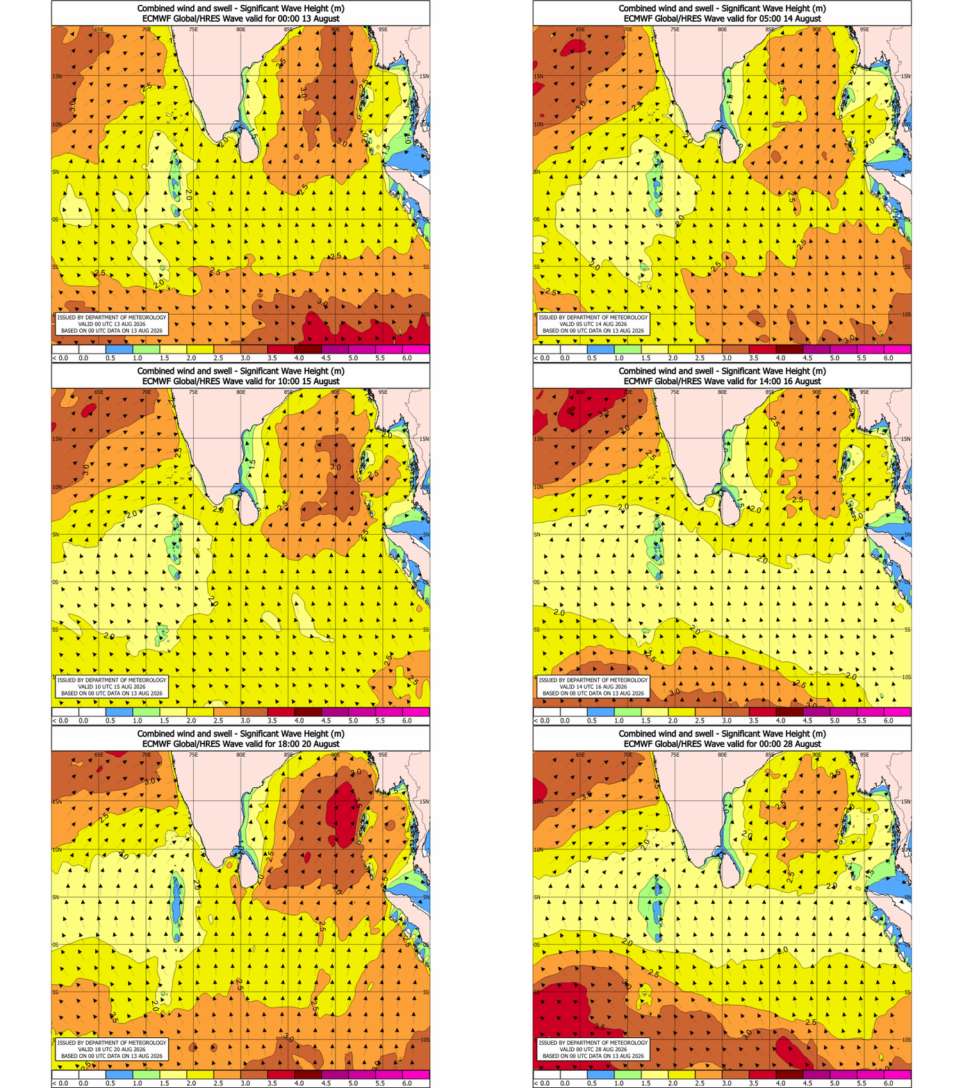
Sea conditions around Sri Lanka are expected to be particularly dangerous during the next 24 hours. Showers will occur at times in the sea areas extending from Chilaw to Matara via Colombo and Galle, while southwesterly winds will generally range between 30 and 40 kmph. However, wind speeds are expected to increase dramatically to 60–70 kmph in the sea areas extending from Kankasanthurai to Pottuvil via Mannar, Colombo, Galle and Hambantota. Winds may also strengthen to 50–60 kmph in the sea areas from Trincomalee to Kankasanthurai via Mullaittivu.
As a result, the sea areas from Kankasanthurai to Pottuvil are expected to become very rough, with wave heights increasing to between 2.5 and 3.0 metres. The Department of Meteorology has strongly advised naval and fishing communities not to venture into these sea areas until further notice. Meanwhile, the sea areas from Trincomalee to Kankasanthurai via Mullaittivu are expected to remain rough, and those already engaged in fishing or marine activities are urged to exercise extreme caution.
The public is also reminded that temporary localized strong winds and lightning may accompany thundershowers. Everyone is encouraged to stay informed through official weather bulletins and take all necessary precautions to protect life and property while the active Southwest Monsoon continues to affect the island.