
")
Depression Crossing Northeast Coast Expected to Weaken Gradually

The depression over the southwest Bay of Bengal, which had been influencing weather conditions across Sri Lanka, crossed the northeast coast near Mullaitivu between 3.30 p.m. and 4.30 p.m. today. By 5.30 p.m., the system was centred approximately 70 kilometres southeast of Jaffna, according to the latest observations. Meteorological authorities state that the system is likely to move westwards during the next 12 hours and gradually weaken into a low-pressure area.
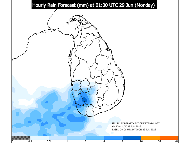
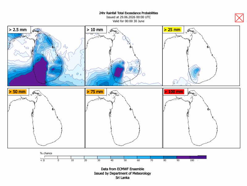
As the system weakens, the overall influence on the island’s weather is expected to reduce by tomorrow, bringing a gradual easing of adverse conditions in affected regions. However, unsettled weather is still anticipated in several parts of the country during the next 24 hours.
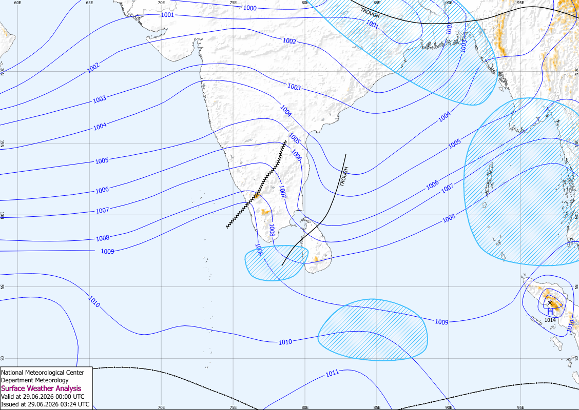
Showers or thundershowers are expected at times in the Northern, North-Central, Uva, and Eastern provinces, as moisture associated with the system continues to affect atmospheric conditions. In addition, several spells of showers may occur in the North-Western and Central provinces, particularly during periods of enhanced cloud development. Isolated showers or thundershowers may also develop in other areas, mainly during the evening or night hours.
Wind conditions are expected to remain fairly strong at times, with speeds of around 30–40 kilometres per hour likely over the Northern and North-Western provinces, as well as in the Matale, Trincomalee, and Nuwara Eliya districts. These winds may occasionally become gusty during thundershowers.
The general public is kindly requested to take adequate precautions to minimize possible damage caused by temporary localized strong winds and lightning, especially during periods of thundershower activity. Residents are also advised to remain attentive to future weather updates issued by the Department of Meteorology.