
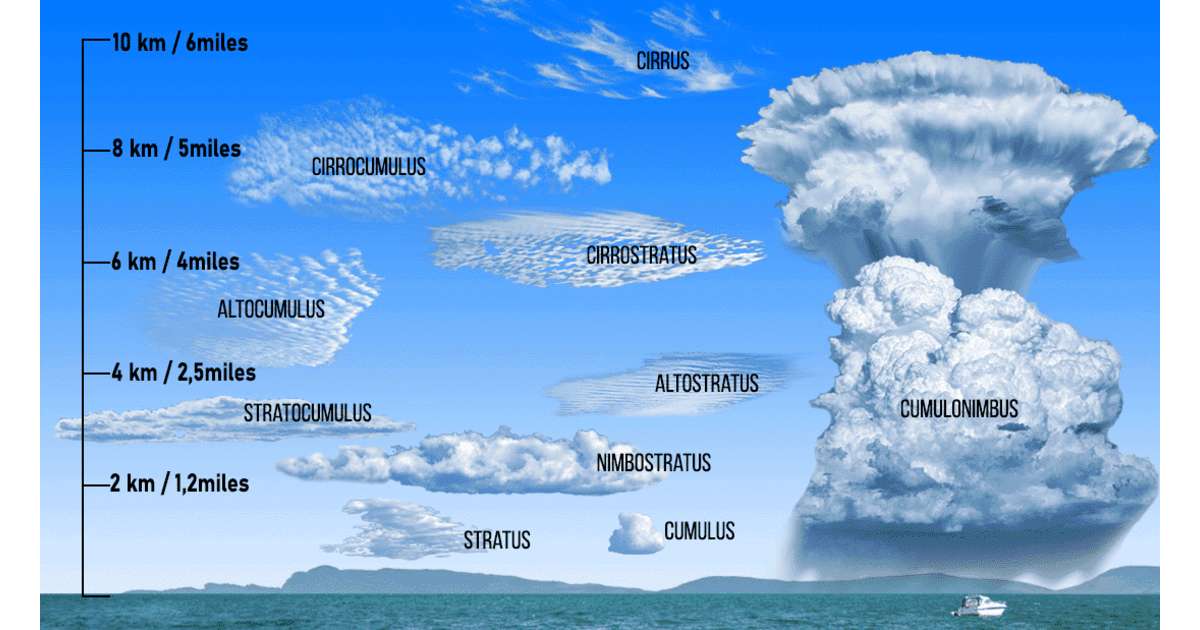
Clouds are an important part of the Earth’s weather system and can provide valuable clues about changing atmospheric conditions. The modern classification of clouds has its roots in the work of English pharmacist and meteorologist Luke Howard, who observed that clouds often showed characteristics of more than one category. His work helped establish the system used today, which recognizes ten basic cloud types.
According to the World Meteorological Organization’s International Cloud Atlas, these clouds are grouped according to their typical altitude: high-level, mid-level and low-level clouds.
High-Level Clouds
High-level clouds include cirrus (Ci), cirrocumulus (Cc), and cirrostratus (Cs). They are generally thin and white and are mainly composed of ice crystals.
Cirrus
Clouds appear as delicate, detached filaments or narrow bands. Their hair-like or silky appearance makes them easy to recognize. Because they consist of ice crystals, they are usually transparent and do not greatly reduce sunlight. Around sunrise and sunset, cirrus clouds can take on striking yellow, orange or red colors.
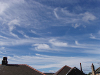
Cirrocumulus
Clouds form thin, white patches or layers arranged in small grains or ripples. They are mainly made of ice crystals and are often associated with cirrus or cirrostratus clouds. These clouds are generally short-lived.
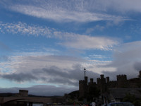
Cirrostratus
Clouds form a transparent, whitish veil that can cover much of the sky. A distinctive feature is the halo that is often visible around the Sun or Moon when light passes through the ice crystals.

Mid-Level Clouds
The main mid-level clouds are altocumulus (Ac), altostratus (As), and nimbostratus (Ns). They are generally composed of water droplets, although ice crystals can occur at sufficiently low temperatures.
Altocumulus
Clouds appear as white or gray patches, layers, rounded masses or rolls. They commonly occur in several layers and may produce a colorful corona around the Sun or Moon.
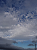
Altostratus
Clouds are gray or bluish sheets that partially or completely cover the sky. They are thin enough for the Sun to appear through them, often with a dull, ground-glass appearance. Light precipitation or virga may sometimes develop beneath them.

Nimbostratus
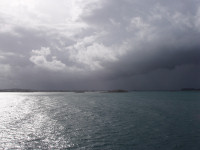
Is a thick, dark gray cloud layer associated with prolonged rain or snow. It can completely obscure the Sun, while low, ragged clouds may form underneath the cloud base.
Low-Level Clouds
Low-level clouds include cumulus (Cu), stratocumulus (Sc), stratus (St), and cumulonimbus (Cb). Most are primarily composed of water droplets.
Cumulus
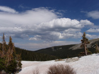
Clouds have rounded, towering tops resembling cauliflower, with bright white upper surfaces and darker, relatively flat bases. They commonly develop during the daytime as warm air rises from the ground.
Cumulonimbus
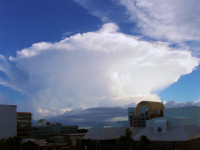
Is the major thunderstorm cloud. It can grow into a huge tower, with its upper section often spreading into a characteristic anvil shape. These clouds can produce heavy rain, lightning, strong winds, hail and, in some situations, tornadoes.
Stratocumulus
Clouds form gray or whitish sheets, patches or rolls and often have a distinctive honeycomb-like appearance. They are generally low and may cover large portions of the sky.

Stratus
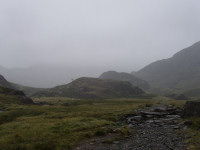
Clouds form a uniform gray layer with a relatively even base. They may produce drizzle, snow grains or ice prisms when conditions are suitable. When stratus clouds break apart, patches of blue sky often become visible.
Understanding these ten basic cloud types helps meteorologists and weather observers identify atmospheric conditions and recognize possible changes in weather. From delicate cirrus high above the Earth to powerful cumulonimbus thunderstorms, each cloud type provides important information about what is happening in the atmosphere.