
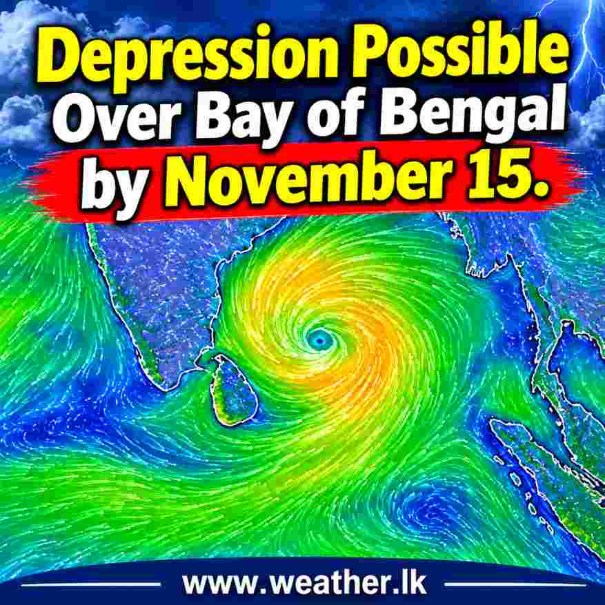
Depression Possible Over Bay of Bengal by November 15, 2026 – Low Pressure System Expected to Intensify
A weather system developing over the southeast Bay of Bengal is expected to bring a new low-pressure area around November 13, with the possibility of strengthening into a depression by November 15. The latest tropical weather outlook issued on November 12 indicates an increasing chance of further development over the following days.
An upper-air cyclonic circulation over the southeast Bay of Bengal was observed up to around 1.5 km above mean sea level at 3:00 UTC on November 12. Under its influence, a low-pressure area is likely to form over the region on November 13.
The system is forecast to move northwestwards and become a well-marked low-pressure area around November 14. It could then develop into a depression around November 15 over the same region.
Another upper-air cyclonic circulation was present over the central Andaman Sea and adjoining Andaman and Nicobar Islands. This system extended up to the middle levels of the atmosphere and was also being monitored for its influence on regional weather conditions.
What This Means for Sri Lanka?
The possible development of a low-pressure system over the Southeast Bay of Bengal deserves attention during the coming days. Its future movement and intensity will be important factors in determining any potential influence on Sri Lanka’s weather.
Although a Depression is forecast to be possible around November 15, its eventual track, intensity and impact on the island will depend on how the system develops.
Further updates and forecasts will be important as the system evolves over the Bay of Bengal.
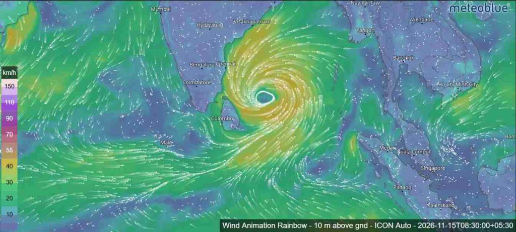
Low Pressure Area Expected on November 13
Under the influence of these atmospheric conditions, a Low Pressure Area is likely to form over the Southeast Bay of Bengal around November 13, 2026.
The system is subsequently expected to move northwestwards and gradually intensify. It is likely to become a Well-Marked Low Pressure Area around November 14, followed by a possible intensification into a Depression around November 15 over the same region.
The latest probability forecast indicates a gradual increase in the likelihood of cyclogenesis (formation of a depression) over the next 168 hours.
Probability of Cyclogenesis During the Next 7 Days
According to the forecast issued at 08:30 AM IST on November 12, the probability of depression formation is expected to change as follows:
| Forecast period (IST) | Probability |
|---|---|
| November 12–13 | NIL |
| November 13–14 | LOW |
| November 14–15 | LOW |
| November 15–16 | MODERATE |
| November 16–17 | HIGH |
| November 17–18 | Not specified |
| November 18–19 | Not specified |
The highest probability category, HIGH, is indicated during the 96–120-hour forecast period, highlighting the potential for further development of the system.
Thunderstorm Activity Over the Bay of Bengal
Scattered to broken low- and medium-level clouds with embedded intense to very intense convection are currently observed over several maritime regions. These include the Northeast Bay of Bengal, Central and South Bay of Bengal, Andaman Sea, Arakan Coast, Gulf of Martaban and Tenasserim Coast.
These conditions indicate active atmospheric instability over parts of the Bay of Bengal and surrounding maritime areas.
Arabian Sea Weather Conditions
Meanwhile, an upper-air cyclonic circulation over the southeast Arabian Sea and adjoining south Lakshadweep area continued to persist. It was observed at around 1.5 km above mean sea level at 3:00 UTC on November 12.
Cloud activity with embedded intense convection was reported over the south Arabian Sea, Maldives, Comorin area and Lakshadweep Islands. Isolated weak to moderate convection was also observed over the north and central Arabian Sea.
For now, attention remains on the southeast Bay of Bengal, where the developing system is expected to take shape over the next few days. Its movement and intensity will become clearer as further weather updates are issued.