
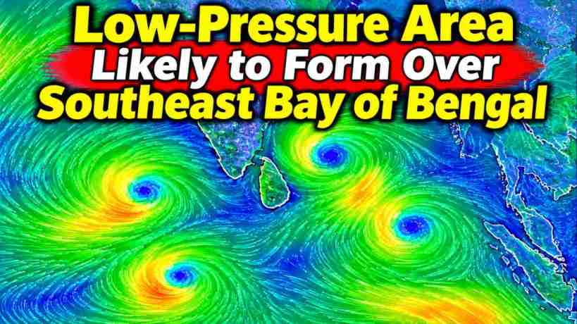
New Low-Pressure System Expected Over Bay of Bengal Around November 13
A weather system developing over the south Andaman Sea could bring a new low-pressure area to the southeast Bay of Bengal later this week. The India Meteorological Department (IMD) says the system is likely to form around November 13 before moving northwestwards and becoming more organised over the following two days.
In its Tropical Weather Outlook issued on November 11, the department reported that an upper-air cyclonic circulation was present over the south Andaman Sea and nearby areas. The circulation extends up to the middle levels of the atmosphere and is expected to influence weather conditions across the region.
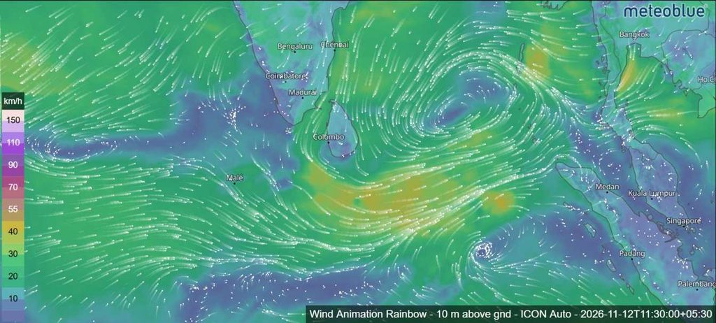
The system is likely to develop into a low-pressure area over the southeast Bay of Bengal around November 13. It may strengthen into a well-marked low-pressure area on November 14, with the possibility of becoming a depression on November 15.
At this stage, the forecast points to the potential development of a depression. However, no depression or named cyclone has been confirmed.
Stronger winds expected over the Bay of Bengal
As the weather system develops, squally conditions are expected over parts of the Bay of Bengal and the Andaman Sea.
Winds of 40–50 km/h, with gusts reaching 60 km/h, are forecast over the Andaman Sea on November 14 and 15. Similar wind conditions are expected over the southeast Bay of Bengal from November 14 to 16.
The winds could become stronger over the south Bay of Bengal, reaching 45–55 km/h with gusts up to 65 km/h between November 15 and 17. Similar conditions are forecast over the central Bay of Bengal on November 16 and 17.
These conditions are expected to develop alongside the movement and possible strengthening of the low-pressure system.
Higher possibility of depression formation later this week
The cyclogenesis probability forecast indicates no likelihood of depression formation during the first 120 hours of the forecast period.
However, the possibility increases towards the end of the seven-day outlook, reaching a high level during both the 120–144-hour and 144–168-hour periods.
This suggests that the system could become more organised around November 16–18. However, the forecast does not confirm that a depression or tropical cyclone will form. Further updates will be important in determining how the system develops.
Weather conditions over the Arabian Sea
Meanwhile, another upper-air cyclonic circulation over the south Kerala coast and adjoining areas of the southeast Arabian Sea and Lakshadweep region continued to persist on November 11.
The circulation was located around 0.9 km above mean sea level. Cloud activity with embedded intense convection was observed over the south Arabian Sea, Maldives, Comorin area and Lakshadweep Islands. Isolated weak to moderate convection was also reported over the north and central Arabian Sea.
Despite this activity, the probability of cyclogenesis over the Arabian Sea remains nil throughout the next 168 hours.
Bay of Bengal Areas of cloud activity
The latest satellite-based observations also showed scattered to broken low- and medium-level clouds, with embedded intense convection, over the northeast, central and south Bay of Bengal.
Similar cloud activity was reported over the Andaman Sea, Arakan Coast, Gulf of Martaban and Tenasserim Coast.
For now, attention remains focused on the southeast Bay of Bengal, where the developing circulation is expected to produce a low-pressure area later this week. The next few days should provide a clearer picture of its movement and intensity.
Source: India Meteorological Department, Tropical Weather Outlook for the North Indian Ocean