
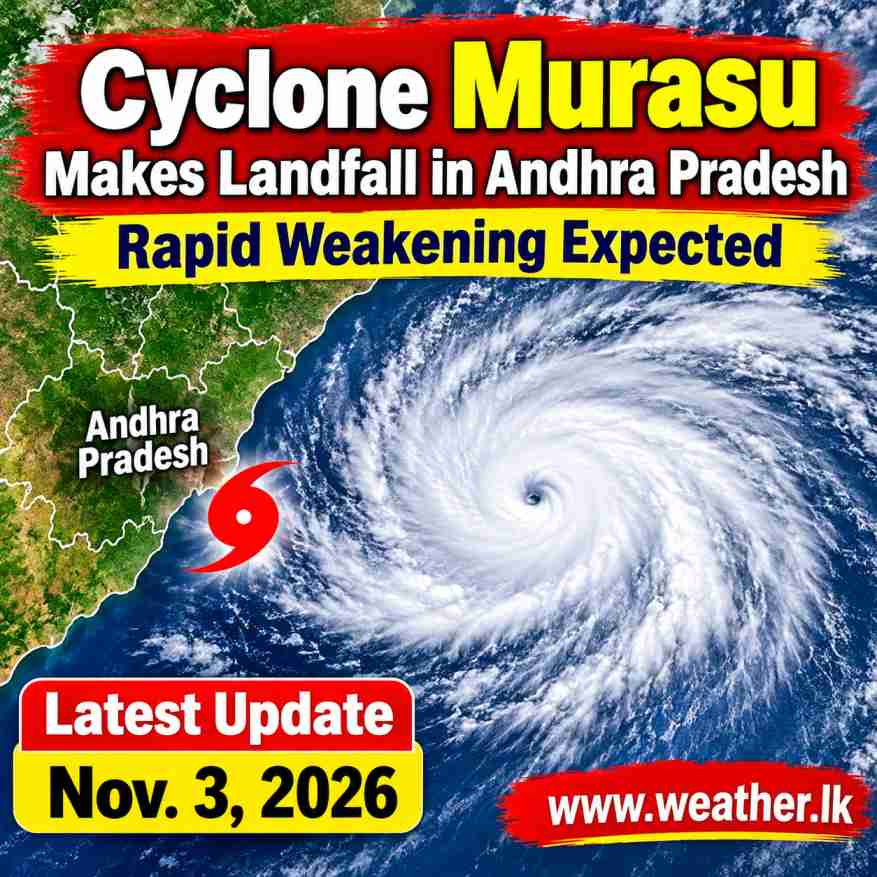
The Severe Cyclonic Storm ‘Murasu’ has crossed the south coast of Andhra Pradesh, India, and is expected to gradually weaken as it moves further north-northwestwards. According to the latest cyclone bulletin issued on 3 November 2026, the system has already made landfall between Nellore and Narsapur, close to Ongole, bringing strong winds and heavy convective activity to parts of the region.
The cyclone crossed the south Andhra Pradesh coast between 2200 UTC on 2 November and 0000 UTC on 3 November, with maximum sustained wind speeds of around 100–110 kmph and gusts reaching up to 120 kmph.
At 0300 UTC on 3 November, the centre of the storm was located near latitude 15.7°N and longitude 80.2°E. It was moving north-northwestwards at approximately 8 kmph. The system was positioned about 30 km northeast of Ongole, 40 km southwest of Bapatla and 90 km northeast of Kavali.

Cyclone Murasu Expected to Weaken Rapidly
The latest forecast indicates that Murasu will gradually lose strength after moving inland. The majority of numerical weather prediction models suggest a decreasing trend in intensity, followed by rapid weakening. The system is expected to weaken below gale-force wind intensity by 1200 UTC on 3 November, reaching the intensity of a Deep Depression according to the forecast guidance.
The forecast intensity changes are as follows:
All times converted from UTC to IST (Indian Standard Time, UTC +5:30).
| Date (IST) | Time (IST) | Cyclone intensity | Wind speed |
|---|---|---|---|
| November 3 | 08:30 AM | Severe Cyclonic Storm | 95–105 kmph, gusting to 115 |
| November 3 | 11:30 AM | Cyclonic Storm | 80–90 kmph, gusting to 100 |
| November 3 | 05:30 PM | Cyclonic Storm | 65–75 kmph, gusting to 85 |
| November 3 | 11:30 PM | Depression | 40–50 kmph, gusting to 60 |
| November 4 | 05:30 AM | Well-Marked Low Pressure Area | 25–35 kmph, gusting to 45 |
The weakening process is expected to be influenced by moderate vertical wind shear and interaction with the land surface. Forecast guidance indicates moderate wind shear of around 10–20 knots until 0600 UTC on 4 November. Although middle-tropospheric humidity is expected to remain above 60% until 0000 UTC on 4 November, the combination of land interaction and wind shear will gradually weaken the system.
According to the environmental and climatological guidance, Murasu is likely to move further north-northwestwards before weakening into a cyclonic storm and subsequently a deep depression.
Heavy Rainfall and Thunderstorm Activity
Satellite imagery from the INSAT-3D system indicated widespread low and medium-level clouds with embedded intense to very intense convection over parts of the Bay of Bengal, coastal Andhra Pradesh, East Rayalaseema, South Telangana and South Chhattisgarh.
Scattered clouds with moderate to intense convective activity were also observed over North Tamil Nadu, North Telangana and West Rayalaseema. These conditions indicate the possibility of continued rainfall and thunderstorm activity across affected inland and coastal areas as the system moves further inland.
Storm Surge Warning
A storm surge of approximately 0.5–1.0 metres above astronomical tide levels was expected to continue during the following three hours and gradually decrease thereafter, according to the bulletin.
Coastal areas, particularly low-lying locations along the affected Andhra Pradesh coastline, may experience temporary seawater inundation associated with the storm surge.
Atmospheric Conditions Supporting the System
The sea surface temperature over the west-central and southwest Bay of Bengal was around 29°C, while the ocean heat content was approximately 100 KJ/cm². These oceanic conditions had supported the development and intensification of Murasu.
The Madden-Julian Oscillation (MJO) was in Phase 3, with an amplitude greater than one. Forecast guidance also indicated an active MJO phase and the presence of a Kelvin wave over parts of the region, supporting convective activity.
However, the latest atmospheric analysis indicated an unfavourable environment for further intensification as the cyclone moved across the Andhra Pradesh coastline. Moderate wind shear, land interaction and changing atmospheric conditions are expected to contribute to its gradual weakening.
Continuous Monitoring of Cyclone Murasu
The cyclone remains under continuous surveillance by Doppler Weather Radars at Machilipatnam and Visakhapatnam in India. Meteorological authorities are monitoring its movement, wind speeds and weakening process.
Although Murasu is expected to weaken considerably during 3 November, its passage may continue to bring rainfall, gusty winds and unsettled weather conditions to parts of southern and central India.
The system’s weakening after landfall marks an important stage in its development, with forecasts indicating that it will gradually lose its cyclonic characteristics and eventually become a well-marked low-pressure area.
