
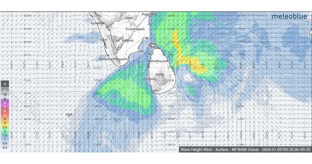
Sea conditions around Sri Lanka are expected to remain highly unfavorable during the next 24 hours as a deep depression over the Bay of Bengal continues to move closer to the island. According to the Department of Meteorology, the deep depression was located about 250 kilometres southeast of Pottuvil at 2.00 p.m. on January 8 and is very likely to move west-northwestwards across the southwest Bay of Bengal. The system is expected to cross the Sri Lankan coast between Hambantota and Batticaloa during the evening and night hours of January 9, between 5.30 p.m. and 11.30 p.m.
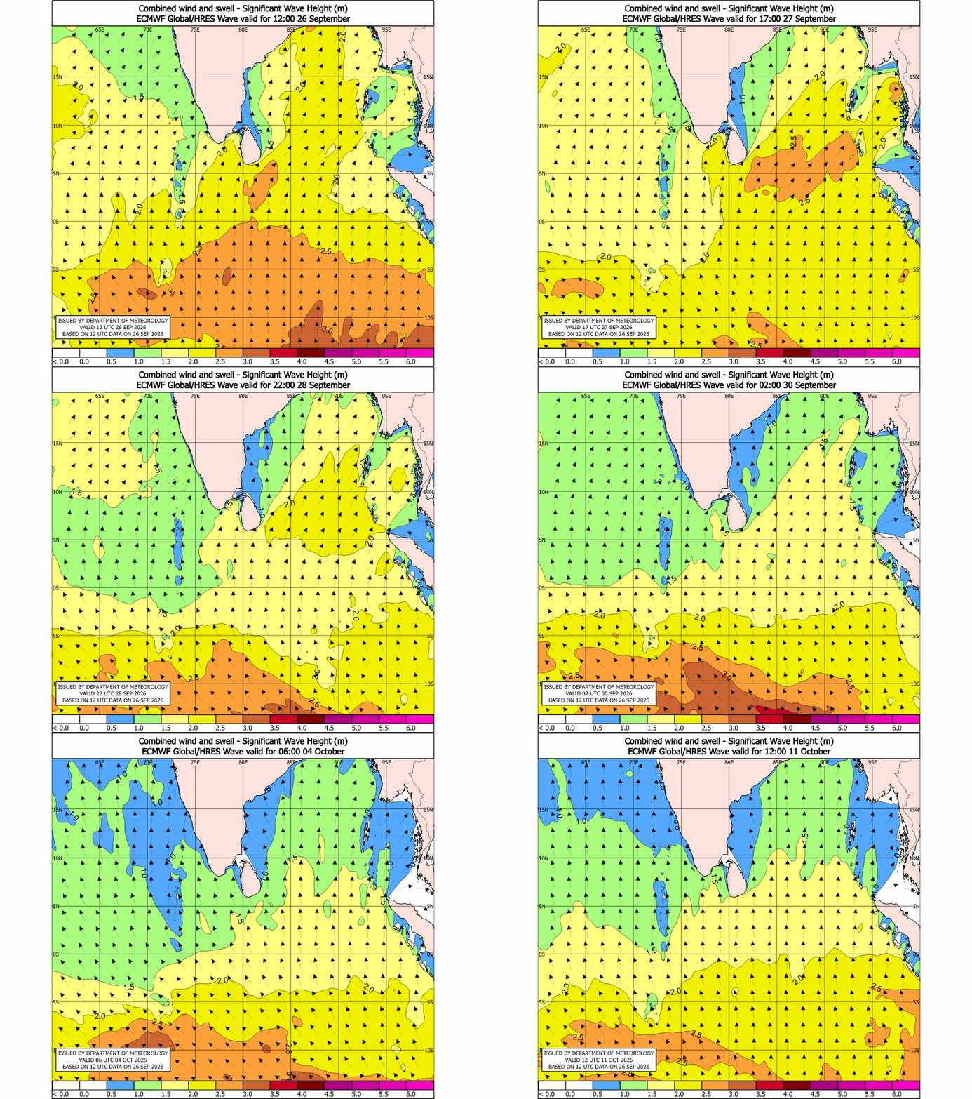
In view of the deteriorating sea conditions, naval and fishing communities have been strongly advised not to venture into both deep and shallow sea areas around the island until further notice, effective from January 8. Authorities emphasize the importance of remaining attentive to official forecasts and bulletins issued by the Department of Meteorology, as conditions at sea are expected to change rapidly with the approach of the system.
Showers or thundershowers are expected to occur at times in the sea areas off the coast extending from Mannar to Galle via Kankasanthurai, Trincomalee, Pottuvil and Hambantota. These weather conditions may significantly reduce visibility and increase the risk to marine activities. In addition, showers or thundershowers may occur at several places in the other sea areas around the island, particularly during the evening or night hours.
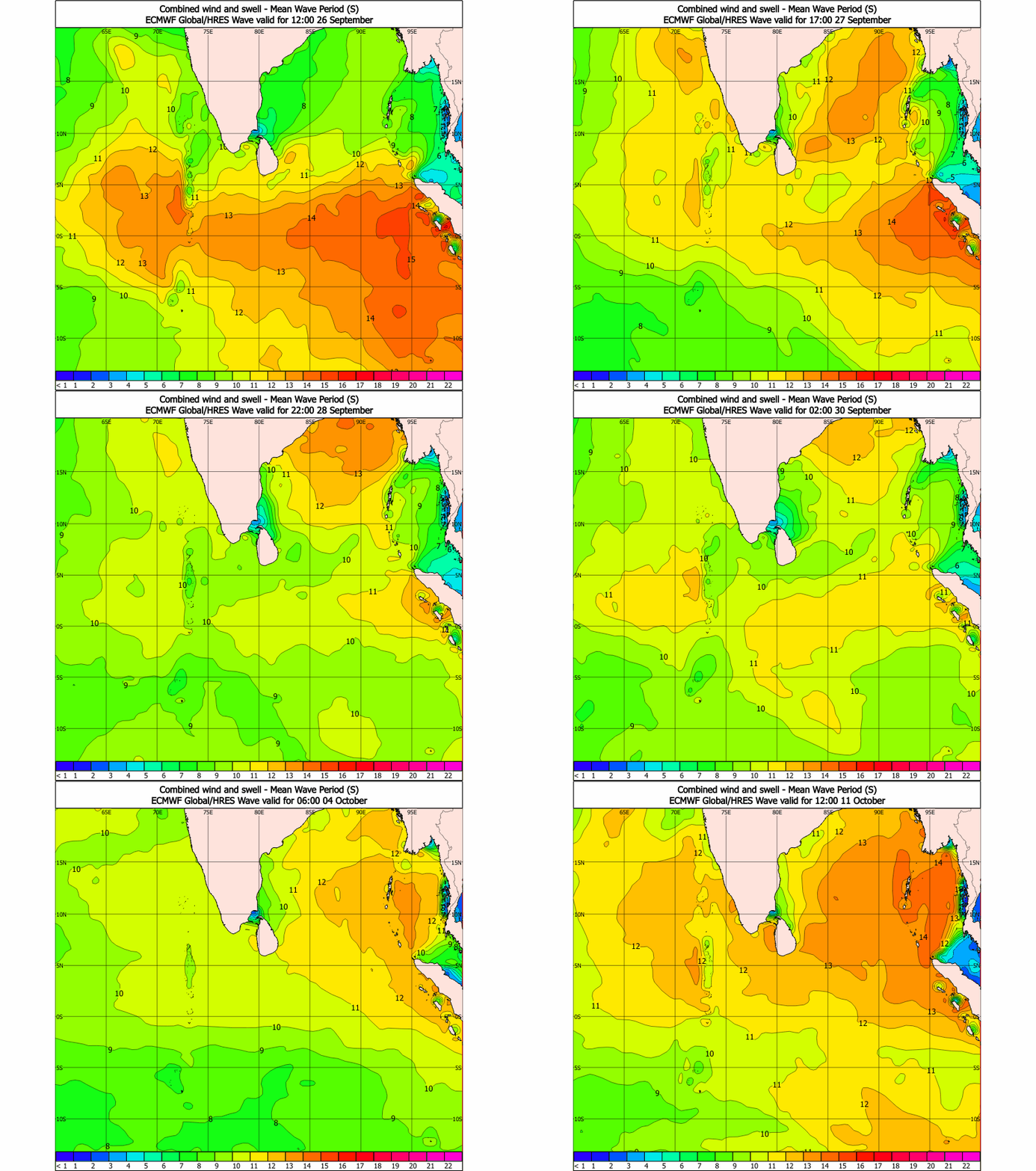
Winds over the surrounding sea areas are forecast to be north-easterly, with average wind speeds ranging between 35 and 45 kilometres per hour. However, wind speeds are expected to increase significantly at times, reaching 60 to 70 kilometres per hour in sea areas around the island. Such strong winds can generate hazardous sea conditions and pose serious risks to small and medium-sized vessels.
The state of the sea is expected to be rough to very rough around the island during this period. Wave heights are likely to increase to about 2.5 to 3.5 metres in the sea areas off the coast extending from Kankasanthurai to Hambantota via Trincomalee and Pottuvil. These elevated wave conditions are confined to sea areas and do not apply to land areas.
Temporarily strong gusty winds and very rough seas can also be expected during thundershowers, further worsening marine conditions. The Department of Meteorology continues to closely monitor the deep depression and urges all maritime communities to strictly adhere to advisories and avoid unnecessary exposure to the sea until conditions improve.