Met Dept Issues Bay of Bengal Alert: Atmospheric Disturbance to Stir Rough Seas
Naval and fishing communities are being placed on high alert as a low-level atmospheric disturbance has developed in the Bay of Bengal to the east of Sri Lanka. The Department of Meteorology, in its 5:30 a.m. bulletin issued today, January 4, 2026, has urged maritime stakeholders to remain closely attentive to future forecasts as the system continues to evolve.
The developing system is expected to bring significant showery conditions to the eastern and northern maritime zones. Showers are forecast to occur at several places in the sea areas off the coast extending from Kankesanthurai to Pottuvil, traveling via Trincomalee and Batticaloa. Mariners in these regions should be prepared for reduced visibility and localized squalls.
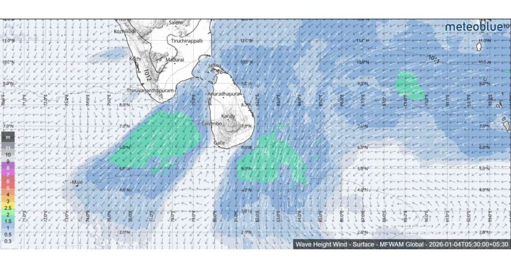
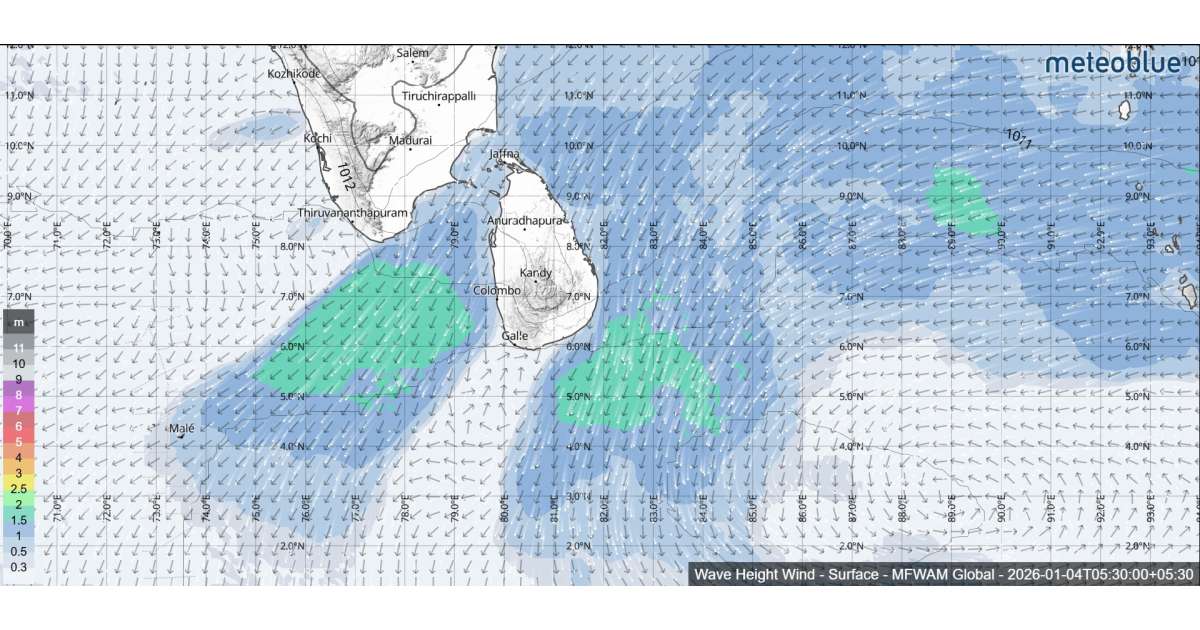
Prevailing winds across the island’s waters will maintain a north-easterly direction. While standard wind speeds are expected to hover between 30 and 40 kmph, the disturbance will cause significant surges in specific areas.
Wind speeds are predicted to increase up to 50–55 kmph at times in the sea areas off the coast extending from Galle to Hambantota, passing through Colombo, Puttalam, Kankesanthurai, Trincomalee, and Batticaloa.
As a result of the increased wind velocity, sea conditions across a vast portion of the coastal belt will be hazardous: Rough Conditions The sea areas stretching from Galle to Hambantota (via Colombo, Puttalam, Kankesanthurai, Trincomalee, and Batticaloa) will be rough at times. Fairly Rough Conditions All other sea areas surrounding the island are expected to be fairly rough.
The Department of Meteorology has advised all fishing and naval communities to exercise extreme caution and to monitor official channels for further updates as the atmospheric disturbance in the Bay of Bengal progresses.