Sri Lanka Weather Forecast for 30 August 2026: Showers, Strong Winds and Rough Seas Expected
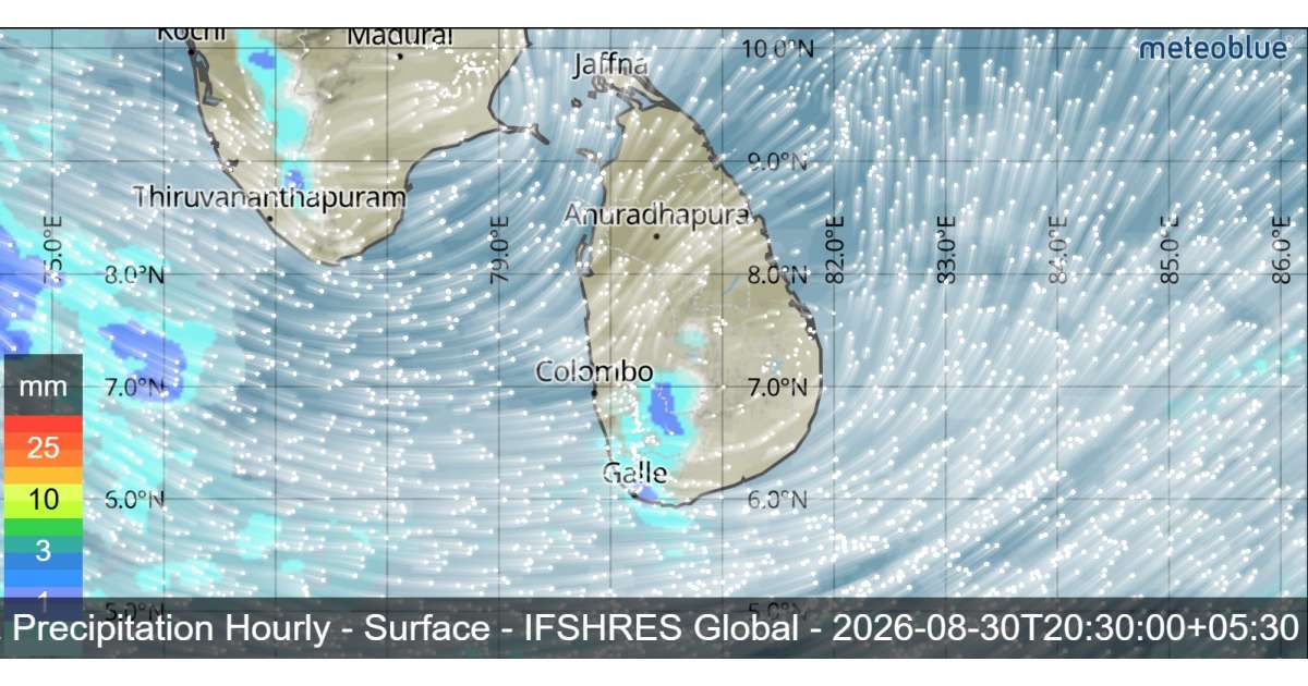
Sri Lanka is expected to experience a mix of rainy and dry weather conditions on 30 August 2026.Showers will occur at times in the Sabaragamuwa Province and in the Galle, Matara, Kandy and Nuwara-Eliya districts. Several spells of showers may also affect the Western and North-Western provinces.
Showers or thundershowers may develop at a few places in the Uva Province and in the Ampara, Batticaloa and Hambantota districts after 2.00 p.m. Meanwhile, mainly dry weather is expected to prevail over most other areas of the island.
Strong Winds Expected in Several Areas
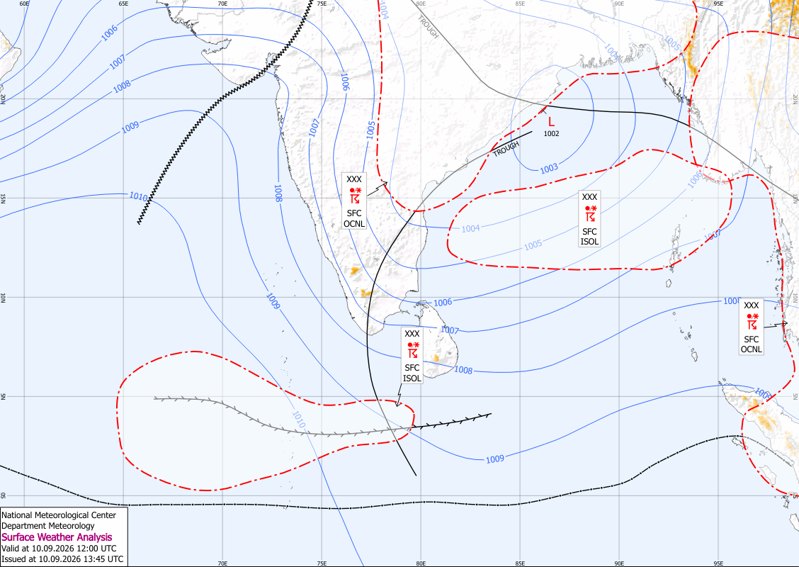
Strong winds of around 40–50 kmph can be expected at times over the western slopes of the Central Hills, as well as the Northern, North-Central and North-Western provinces. Strong winds may also affect Trincomalee, Monaragala, Hambantota and Matale districts. The public is advised to take adequate precautions to minimize possible damage caused by temporary localized strong winds and lightning during thundershowers.
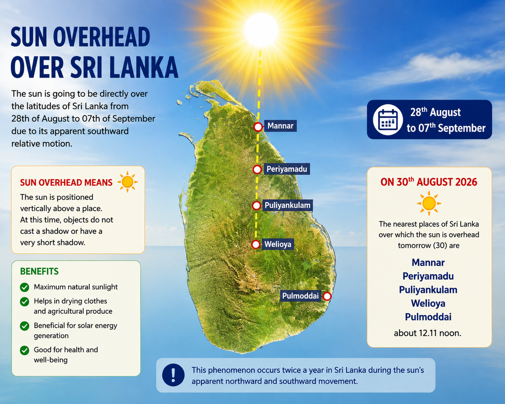
Sun Overhead Over Sri Lanka
The sun is expected to be directly overhead Sri Lankan latitudes from 28 August to 7 September due to its apparent southward movement. On 30 August, the sun will be directly overhead near Mannar, Periyamadu, Puliyankulam, Welioya and Pulmoddai at approximately 12.11 p.m.
Sea Weather Forecast
Showers may occur at several places in the sea areas extending from Chilaw to Hambantota via Colombo and Galle. South-westerly winds are expected, with speeds of 30–40 kmph. Wind speeds could increase to 50–60 kmph at times in the sea areas from Kankasanthurai to Puttalam via Mannar and from Hambantota to Pottuvil. Winds may also reach 50 kmph between Kankasanthurai and Trincomalee via Mullaitivu.
The sea areas from Kankasanthurai to Puttalam via Mannar and from Hambantota to Pottuvil will be rough at times, while the areas from Kankasanthurai to Trincomalee via Mullaitivu may become fairly rough.
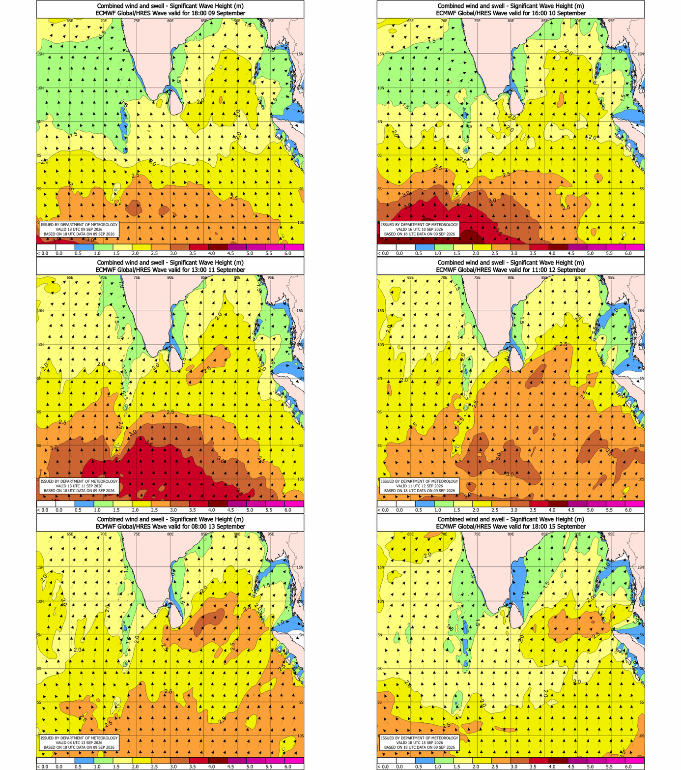
Wave heights could increase to around 2.0–3.0 metres in the sea areas from Negombo to Pottuvil via Galle and Matara. Swell waves may also cause surges near the coast from Beruwala to Matara via Galle.
Naval and fishing communities operating in these sea areas, together with coastal communities in the affected nearshore locations, are urged to remain vigilant and follow the latest weather advisories.