

Sri Lanka is expected to experience unsettled weather conditions on 10 June 2026, with showers, thundershowers, strong winds, and rough seas affecting several parts of the island. Residents, fishermen, and travelers are advised to remain alert as the southwest monsoon continues to influence weather patterns across the country.
According to the forecast, showers or thundershowers will occur at times in the Western, Sabaragamuwa, and North-Western provinces, as well as in the districts of Galle, Matara, Kandy, and Nuwara Eliya. A few showers may also occur in Anuradhapura and Hambantota districts.
Strong winds are expected to be a major weather feature today. Wind speeds of 40–50 kmph can occur at times over the western slopes of the central hills, Northern Province, North-Central Province, and in the Hambantota and Trincomalee districts. Other parts of the island can expect fairly strong winds ranging between 30–40 kmph.
The public is advised to take necessary precautions against temporary localized strong winds and lightning associated with thundershowers. Falling tree branches, damage to temporary structures, and reduced visibility during heavy rain are possible in affected areas.
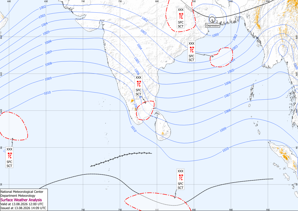
Sea Conditions and Marine Warning
Weather conditions at sea are expected to be hazardous in several coastal areas around Sri Lanka. Showers or thundershowers will occur at times in sea areas extending from Chilaw to Hambantota via Colombo and Galle.
South-westerly winds will prevail with speeds of 30–40 kmph. However, wind speeds can increase significantly to 60–70 kmph at times in the sea areas from Kankasanthurai to Kalpitiya via Mannar. Winds may also reach 50–60 kmph in sea areas from Trincomalee to Kankasanthurai via Mullaitivu and from Kalpitiya to Pottuvil via Colombo, Galle, and Hambantota.
The sea areas from Kankasanthurai to Kalpitiya via Mannar will be very rough at times. Naval and fishing communities are strongly advised not to venture into these waters until further notice. Other coastal waters around the island will remain rough to fairly rough, with wave heights expected to increase between 2.0 and 2.5 meters in some areas.
Fishermen and marine operators should closely monitor weather updates and exercise extreme caution while at sea.