
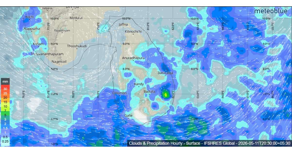
The Department of Meteorology has warned that the low-level atmospheric disturbance near Sri Lanka is likely to develop into a low-pressure area within the next 48 hours. As a result, the prevailing showery weather is expected to continue over the island during the next few days.
Cloudy skies will dominate across the country, with showers or thundershowers occurring at times in most parts of the island. Heavy rainfall exceeding 100 mm is likely in the Western, Sabaragamuwa, Central, Southern, North-Western and Northern provinces. Residents in these areas are advised to stay alert for localized flooding and waterlogging.
The public is strongly urged to take necessary precautions against lightning and temporary strong winds that may accompany thundershowers. Travelers should expect wet road conditions and possible disruptions in low-lying areas.
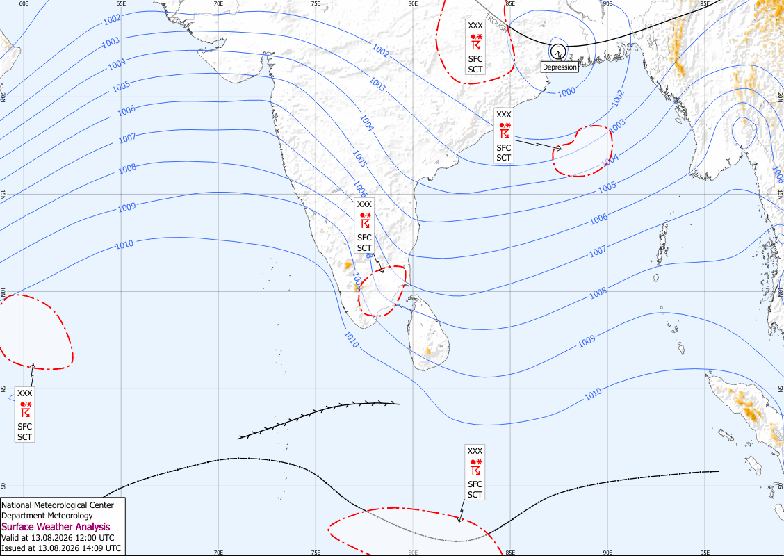
Sea Areas Around Sri Lanka
Weather conditions at sea are also expected to deteriorate as the atmospheric disturbance intensifies. Showers or thundershowers will occur at several places in the sea areas around the island.
Winds will be south-westerly or variable in direction, with speeds of 20–30 kmph. Sea conditions will be slight to moderate, but temporarily strong gusty winds and very rough seas can develop during thundershowers.
Naval and fishing communities are advised to closely monitor future forecasts and warnings issued by the Department of Meteorology as conditions may worsen in the coming days.