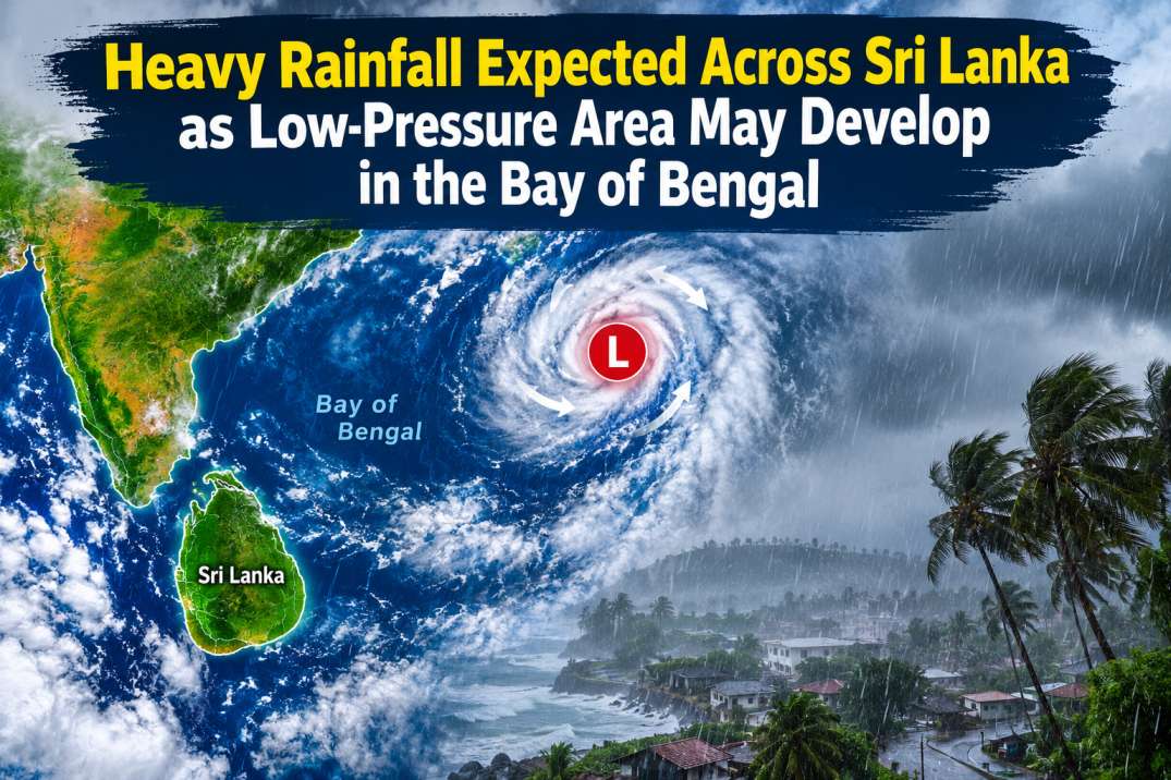
A low-level atmospheric disturbance currently prevailing over the southeastern Bay of Bengal is likely to develop into a low-pressure area by tomorrow (13 March). Under the influence of this system, rainfall is expected to increase across Sri Lanka and the surrounding deep and shallow sea areas from tomorrow and over the next few days.The public, including fishing and naval communities, is urged to closely monitor future forecasts and advisories.
Widespread showers or thundershowers are expected across most parts of Sri Lanka tomorrow (13 March). Heavy rainfall of around 100–150 mm is possible at some locations in the Central, Sabaragamuwa, Uva and Southern provinces. Other parts of the island may experience fairly heavy rainfall exceeding 75 mm.
People living in mountainous areas are advised to remain alert to the possibility of landslides, while residents in areas prone to flooding should be cautious of sudden flash floods caused by heavy rainfall. The public is also urged to take necessary precautions to minimize accidents and damage caused by temporary strong winds and lightning associated with thundershowers.
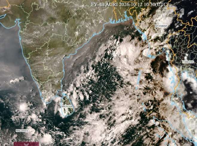
Satellite imagery captured at approximately 4.00 p.m. today (12 March) shows the development of cumulonimbus clouds around Sri Lanka and the Bay of Bengal, indicating active cloud development in the region.
Satellite Image: FY-4B AGRI (China)