
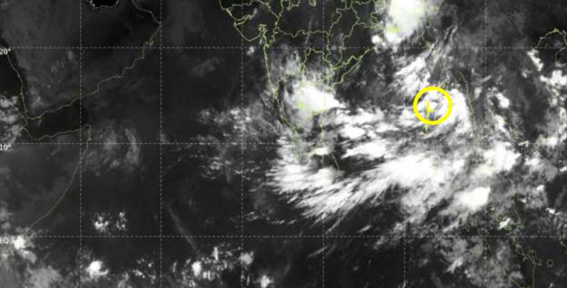
A low-pressure area currently located over the Andaman Sea region of the Bay of Bengal, northeast of Sri Lanka, is expected to strengthen into a depression within the next 24 hours, according to the Department of Meteorology.
The system is not expected to directly affect Sri Lanka. However, its associated wind flow is likely to keep rainy weather over parts of the country, with the southwestern regions expected to see the most persistent conditions.
For tomorrow, 22 September, showers or thundershowers are forecast at times across the Western, Sabaragamuwa, Central and North-Western provinces, as well as the Galle and Matara districts. Some locations could receive around 100 mm of rain or more.
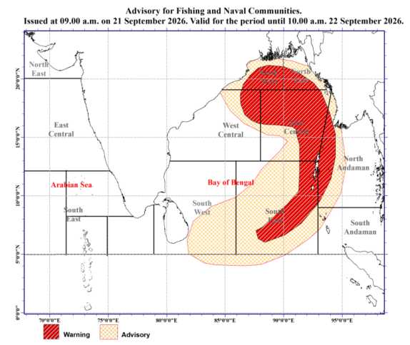
Several spells of showers are also expected in the North-Central Province and Mannar District. Meanwhile, showers or thundershowers may occur at several places in the Uva Province and in the Batticaloa and Ampara districts after 2.00 p.m.
Along with the rain, strong winds of around 40–50 km/h could occur at times over the western slopes of the Central Hills, North-Central and North-Western provinces, as well as the Trincomalee, Hambantota and Matale districts.
The public is advised to remain cautious during thundershowers, particularly because temporary localized strong winds and lightning may occur. People in affected areas should take appropriate safety precautions and stay updated with the latest weather information from the Department of Meteorology.