
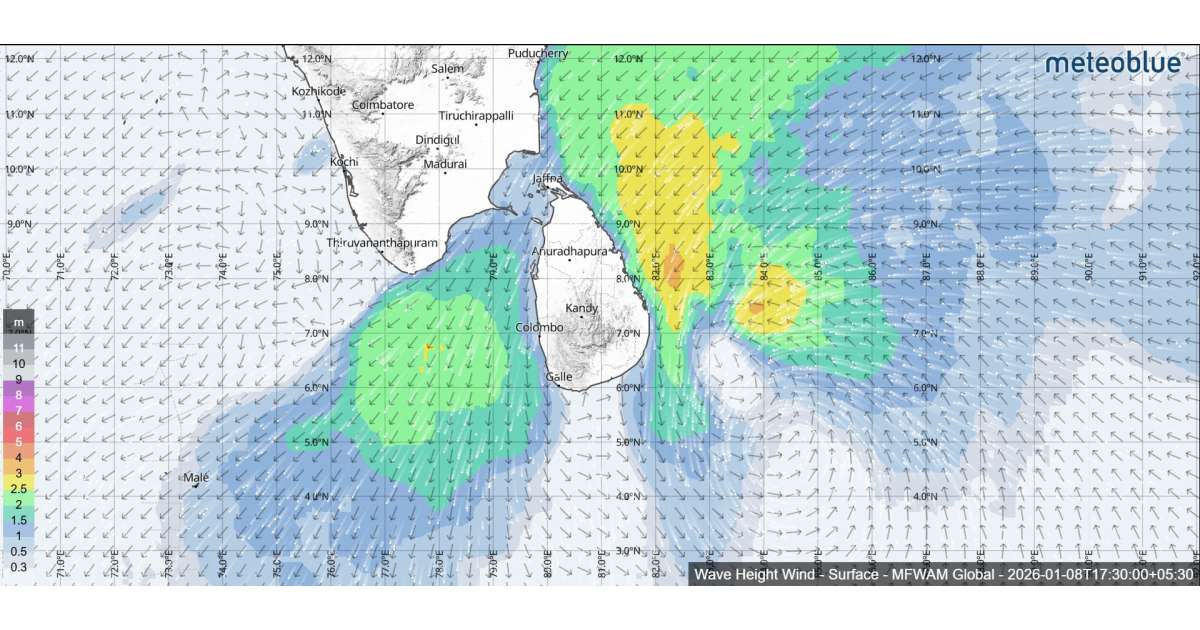
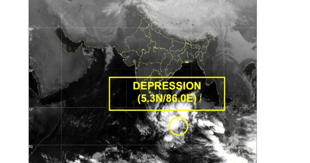
Sea conditions around Sri Lanka are expected to turn highly adverse during the next 24 hours as a developing depression over the Bay of Bengal continues to intensify and move closer to the island. According to the Department of Meteorology, the depression was centered near latitude 5.3°N and longitude 86.0°E at 11.30 p.m. on January 7, placing it about 490 kilometres southeast of Pottuvil. The system is forecast to move west-northwestwards toward the eastern coast of Sri Lanka during the next 24 hours and is very likely to intensify further into a deep depression within the next 12 hours. This evolving system is expected to significantly impact sea conditions around the island, prompting strong warnings to maritime communities.
Naval and fishing communities have been strictly warned not to venture into both deep and shallow sea areas around the island until further notice from today, January 8. Authorities stress that conditions at sea are extremely unsafe due to strong winds, rough seas and the potential for sudden weather deterioration. Fishermen and naval personnel are requested to remain attentive to forecasts and official bulletins issued by the Department of Meteorology and to strictly follow instructions issued by relevant authorities.
Rainfall activity over sea areas is expected to be widespread. Showers or thundershowers will occur at several places in the sea areas off the coast extending from Mannar to Galle via Kankasanthurai, Trincomalee and Pottuvil. In addition, other sea areas around the island may experience showers or thundershowers, particularly during the evening or night hours. These weather conditions may further reduce visibility and create hazardous navigation conditions for vessels operating at sea.
Wind conditions are expected to intensify significantly. Winds will generally be north-easterly with speeds ranging between 35 and 45 kilometres per hour. However, wind speeds may increase sharply up to 60 to 70 kilometres per hour at times in the sea areas around the island. Such strong winds can generate high waves and powerful swells, posing serious risks to small and medium-sized fishing boats as well as larger vessels operating close to the coast.
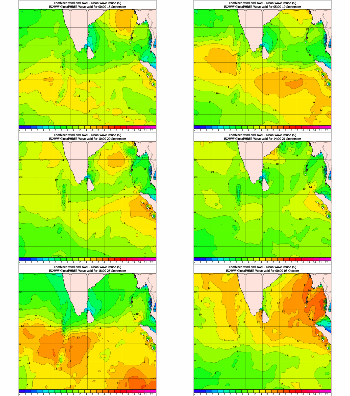
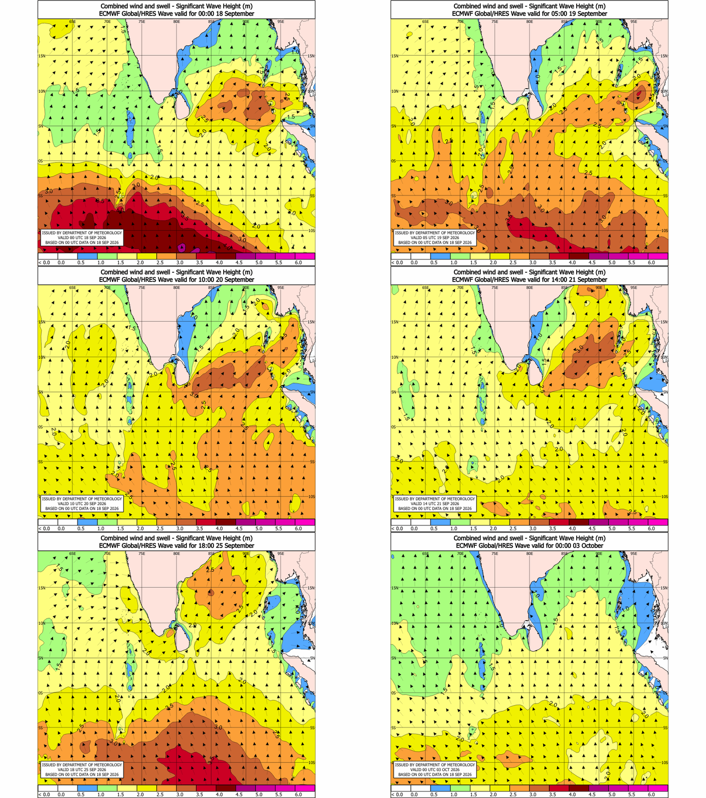
Sea conditions are forecast to remain rough to very rough at times around the entire island. The Department of Meteorology warns that wave heights may increase to about 2.5 to 3.5 metres in the sea areas off the coast extending from Kankasanthurai to Hambantota via Trincomalee and Pottuvil. These elevated wave conditions are limited to sea areas and do not apply to land areas. Temporarily strong gusty winds and very rough seas can also be expected during thundershowers, further increasing the risk to maritime activities.
As a precautionary measure, coastal communities are advised to take safety measures in anticipation of deteriorating weather. Coastal hutment dwellers are encouraged to move to safer locations, while other residents in affected areas are advised to remain indoors during periods of severe weather. The public is warned to be cautious of fallen trees and power lines and to avoid using wired telephones and connected electrical appliances during thunderstorms. For emergency assistance, people are urged to contact local disaster management authorities.

Naval and fishing communities are also advised not to venture into sea areas bounded between latitudes 02°N and 13°N and longitudes 80°E and 90°E until further notice. Those currently operating within these areas are urged to return to the nearest coast or move to safer waters immediately. The Department of Meteorology continues to closely monitor the behavior of the system and will issue further advisories as required. The general public and maritime communities are strongly requested to remain attentive to future forecasts and official bulletins during this critical period.