Atmospheric Disturbance Persists: Heavy Rains to Intensify Over North and East from Monday
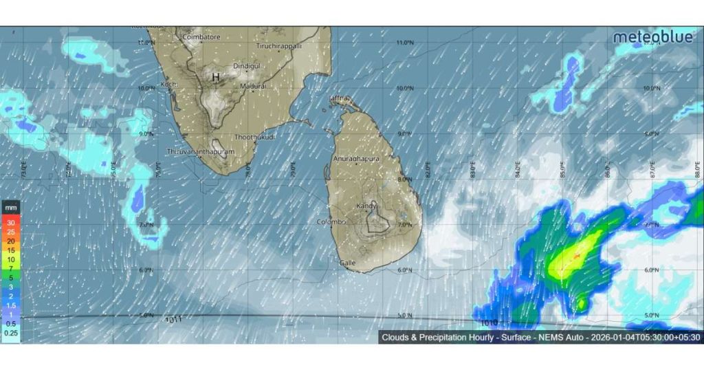
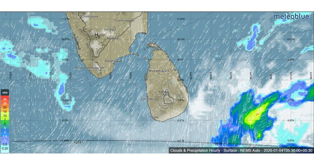
COLOMBO – The Department of Meteorology has confirmed that a low-level atmospheric disturbance situated to the east of Sri Lanka continues to dictate the island’s weather patterns. In its latest bulletin issued at 5:30 a.m. today, January 4, 2026, the department predicted that showery conditions are set to intensify significantly over the Northern, Eastern, and Uva Provinces starting from tomorrow, January 5th.
For today, the disturbance is expected to bring persistent weather to several key areas. Showers will occur at times in the Eastern and Uva provinces, as well as the Polonnaruwa, Matale, and Nuwara-Eliya districts.
In the Anuradhapura and Hambantota districts, residents can expect a few showers throughout the day. Meanwhile, afternoon weather shifts are anticipated in the southwestern parts of the island, with showers or thundershowers likely to develop at a few places in the Sabaragamuwa province and the Kalutara, Galle, and Matara districts after 2:00 p.m.
Strong winds remain a significant factor in the current forecast. Wind speeds are expected to reach up to 50 kmph at times over several regions, including the eastern slopes of the central hills. The Northern, North-central, North-western, and Eastern provinces. The Hambantota, Gampaha, Colombo, and Monaragala districts.
With high winds affecting both coastal and inland districts like Colombo and Gampaha, the public is advised to be cautious of falling branches and to secure temporary outdoor structures.
The Department of Meteorology has renewed its call for the general public to take adequate precautions. The primary concerns during this period are damages caused by temporary localized strong winds and the risk of lightning strikes during afternoon thundershowers.
As the atmospheric disturbance continues to develop to the east, authorities will provide further updates on the expected enhancement of rainfall scheduled to begin on Monday.