North-Easterly Winds to Strengthen as Rough Seas Persist
The Department of Meteorology has issued a fresh marine weather bulletin today, January 3, 2026, of intensifying wind speeds and increasingly turbulent conditions across the sea areas surrounding Sri Lanka. As a low-level atmospheric disturbance remains active to the east of the island, naval and fishing communities are urged to exercise high caution over the next 24 hours.
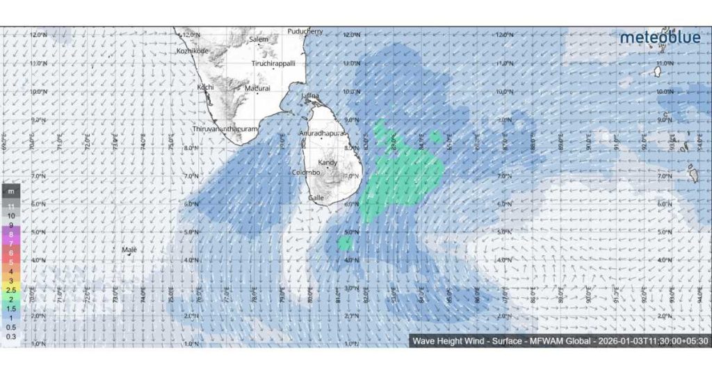
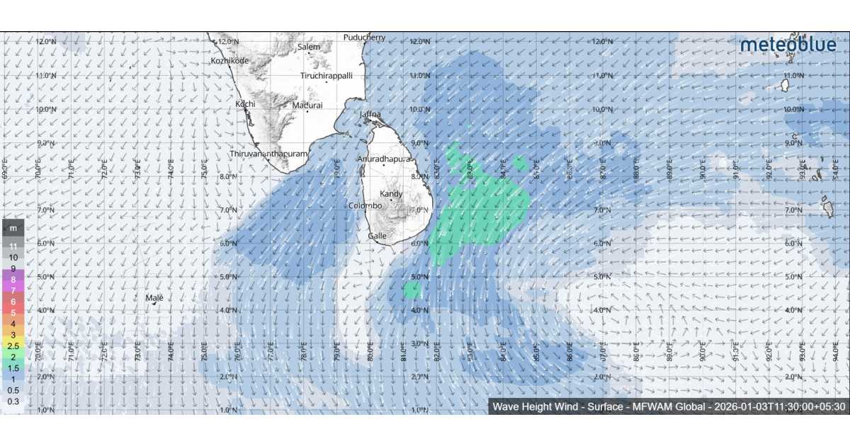
A significant shift in wind intensity is expected today. While winds will remain predominantly north-easterly with average speeds of 30–40 kmph, they are forecast to surge significantly in specific sectors. Wind speeds could reach 50–55 kmph at times in the vast sea area extending from Galle to Hambantota, covering the western, northern, and eastern coasts via Colombo, Puttalam, Kankesanthurai, Trincomalee, and Batticaloa.
Due to the localized surge in wind velocity, the sea areas mentioned above—stretching from Galle to Hambantota—will be rough at times. In a notable update from previous forecasts, the Department has also warned that other sea areas around the island, which were previously moderate, may now become fairly rough.
The maritime regions continue to face widespread showery conditions. Showers or thundershowers are expected at several places in the sea areas off the coast extending from Puttalam to Trincomalee (via Colombo, Galle, Hambantota, and Batticaloa). Other sea areas around the island may also experience isolated showers.
Authorities have reiterated a critical safety warning: during thundershowers, sea conditions can deteriorate rapidly, leading to temporarily strong gusty winds and very rough seas.
Small craft and fishing vessels are advised to remain vigilant, particularly when navigating the rough waters of the western, northern, and eastern belts. Those venturing out should stay tuned to further updates from the Department of Meteorology as the atmospheric disturbance continues to influence the region.