
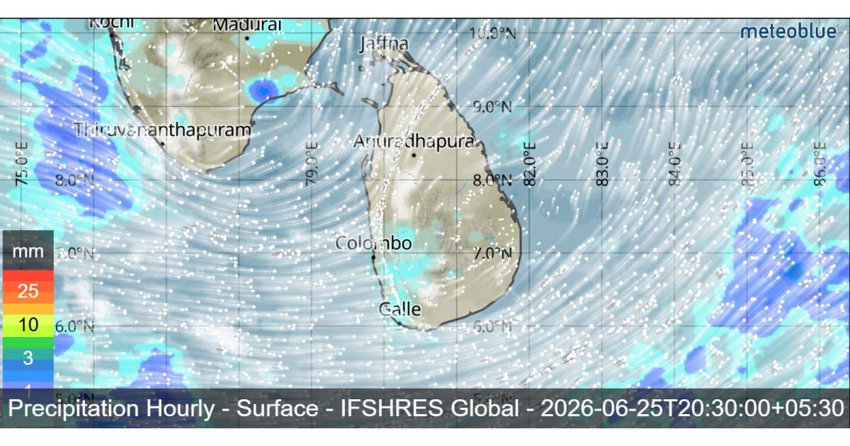
Rainy conditions across Sri Lanka are expected to intensify temporarily from the night of 25 June and continue over the following few days, particularly affecting the southwestern parts of the island.
According to the latest forecast, showers will occur at times in the Western, Sabaragamuwa and North-Western provinces, as well as in the districts of Galle, Matara, Kandy and Nuwara Eliya. Residents in these areas should be prepared for intermittent rainfall throughout the day.
Meanwhile, a few showers or thundershowers may develop after 2.00 p.m. in Uva Province and in the Ampara and Batticaloa districts. Although rainfall in these regions is expected to be less widespread, localized thunderstorms could bring brief periods of heavy rain.
Fairly strong winds of 30–40 kmph can be expected at times over the western slopes of the central hills, Northern, North-Central, North-Western and Southern provinces, as well as in the Trincomalee district. The public is advised to take necessary precautions against temporary strong winds and lightning associated with thundershowers.
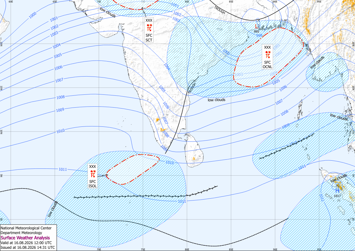
Sea Conditions Around Sri Lanka
Weather conditions at sea will also remain unsettled. Showers or thundershowers may occur in sea areas extending from Chilaw to Matara via Colombo and Galle.
South-westerly winds will prevail with speeds of 30–40 kmph. Wind speeds may increase up to 50–60 kmph at times in the sea areas from Chilaw to Kankasanthurai via Mannar and from Galle to Pottuvil via Hambantota.
These sea areas are expected to be rough at times, while other surrounding waters may become fairly rough. Fishermen, naval personnel and maritime communities are advised to remain vigilant, as temporarily strong gusty winds and very rough seas can occur during thundershowers.