
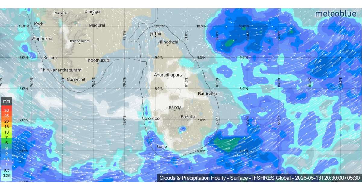
The Department of Meteorology has forecast continued wet weather across Sri Lanka on 13 May 2026 as a low-pressure area located northeast of the island remains active. The weather system is expected to move gradually northward over the next few days, but its influence will continue to bring widespread showers and thunderstorms to most parts of the country.
Showers or thundershowers will occur at times in the Western, Sabaragamuwa, Central, North-Western and Northern provinces, as well as in the districts of Anuradhapura, Trincomalee, Galle and Matara. Rainfall is also expected in other areas of the island after 1.00 p.m., with afternoon and evening thunderstorms likely to become intense in some locations.
Heavy rainfall exceeding 100 mm is likely in several areas, particularly in the Western, Sabaragamuwa, Central, North-Western and Uva provinces, and in the districts of Ampara, Batticaloa, Galle and Matara. Residents in these areas are advised to remain alert for localized flooding, falling trees and temporary disruptions to transport.
The public is strongly urged to take precautions against lightning and temporary strong winds associated with thundershowers.
Sea Areas Around Sri Lanka
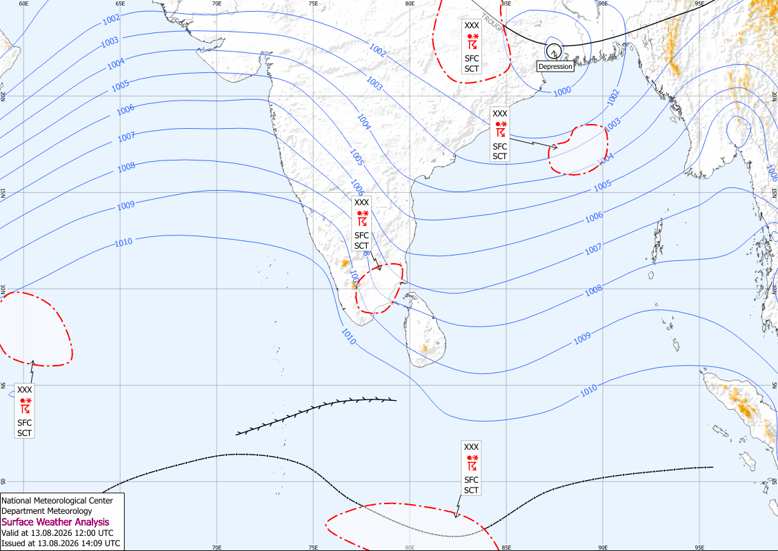
The same low-pressure system, currently located near 11.3°N and 82.5°E, is expected to increase both rainfall and wind speeds over the surrounding sea areas during the coming days. Naval and fishing communities are advised to closely monitor future weather bulletins issued by the Department of Meteorology.
Showers or thundershowers will occur at times in sea areas around the island. Winds will be westerly or variable at 25–35 kmph, with speeds increasing up to 50 kmph at times in the coastal waters from Puttalam to Hambantota via Colombo and Galle.
These sea areas will be rough at times, while other waters around Sri Lanka will remain moderate. Very rough seas and strong gusty winds are possible during thundershowers, and fishermen are urged to exercise extreme caution.