
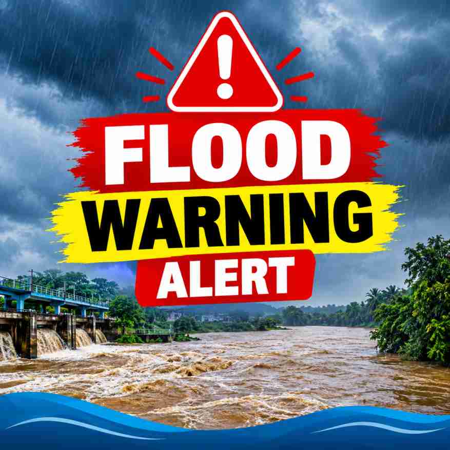
Heavy rainfall in the upper and middle catchment areas of the Attanagalu Oya and Kelani River basins has raised concerns about possible flooding in several low-lying areas of Sri Lanka, according to the information provided in the flood notices.
Flood Risk in Attanagalu Oya and Uruwal Oya Valleys
The water level of Attanagalu Oya is rising due to significant rainfall in its upper and middle catchment areas, together with the commencement of water releases through the spill gates of the Basnagoda Reservoir.
Based on rainfall conditions and water-level measurements at river gauging stations maintained by the Department of Irrigation, there is a risk of flooding in low-lying areas of the Attanagalu Oya and Uruwal Oya valleys.
The areas identified in the notice include the Divisional Secretariat Divisions of Divulapitiya, Mirigama, Attanagalla, Mahara, Gampaha, Minuwangoda, Ja-Ela, Katana and Wattala.
Residents in these areas, particularly those living close to riverbanks and flood-prone locations, are advised to remain alert. Motorists travelling along roads in affected areas should also exercise extreme caution.
Minor Flood Risk in the Kelani River Valley
Significant rainfall has also been recorded in the upper catchment areas of the Kelani River Basin. An assessment of prevailing rainfall conditions and river water levels indicates a risk of minor flooding within the next 24 hours from the time stated in the notice in low-lying areas of the Kelani River Valley.
The Divisional Secretariat Divisions identified in the notice are Ruwanwella, Seethawaka, Dompe, Dehiowita, Eheliyagoda, Yatiyantota and Bulathkohupitiya.
The notice further states that continued heavy rainfall could cause the flood situation to affect low-lying areas downstream of Hanwella. Therefore, people living in vulnerable locations should closely monitor changing river conditions and follow official instructions.
Public Safety Advice
Residents in the identified areas are urged to take necessary precautions and remain attentive to updates from the Department of Irrigation and relevant disaster management authorities. People should avoid crossing flooded roads, overflowing streams and submerged bridges. Motorists should not attempt to drive through floodwater when the depth or condition of the road is uncertain.
People living in low-lying areas should be prepared to move to safer locations if instructed by authorities. Local officials and emergency services should be informed if floodwater begins entering homes or threatens access roads.
Important: These notices describe potential flood risks, not confirmation that all listed areas are already flooded. The Kelani River notice specifies a 24-hour risk period from the time of issuance. Readers should check the latest official updates for current conditions and any revised warnings.
Residents are encouraged to remain vigilant as rainfall and reservoir releases may influence river water levels in the affected catchment areas.