Sri Lanka Weather Forecast for 13 September 2026
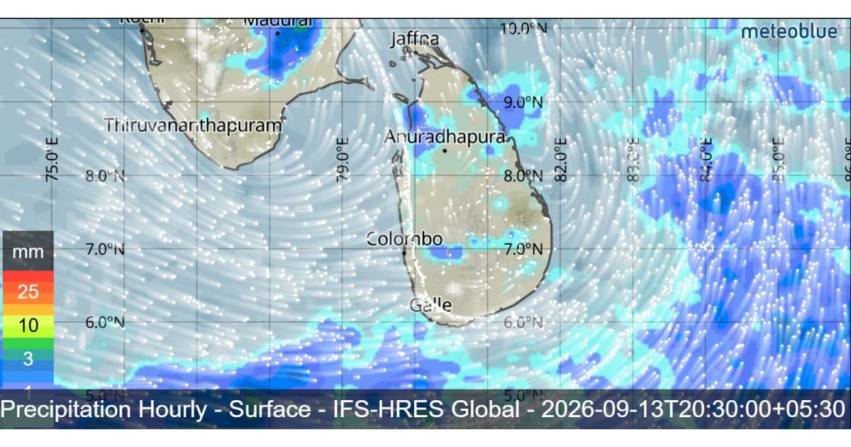
Weather conditions across Sri Lanka are expected to become more favorable for afternoon thundershowers over the next few days, particularly in the Northern and Eastern provinces. The forecast for Sunday, 13 September, indicates increased rainfall activity across many parts of the island, with several areas likely to experience showers or thundershowers after 2.00 p.m.
Showers or thundershowers will occur at several places in the Northern, North-Central, Uva, Eastern, Central and Sabaragamuwa provinces, as well as in the Hambantota district. Fairly heavy rainfall exceeding 75 mm is possible at some locations within these areas. Residents and commuters should remain alert to changing weather conditions, particularly during the afternoon and evening when thunderstorms are more likely.
Meanwhile, several spells of showers are expected in the Western and North-Western provinces and in the Galle and Matara districts. Although rainfall may vary from place to place, the overall weather pattern indicates an increase in afternoon rainfall activity across the country.
The public is advised to take adequate precautions during thundershowers, as temporary localized strong winds and lightning may occur. Outdoor activities should be planned carefully when thunderstorms develop.
Sea Weather Forecast
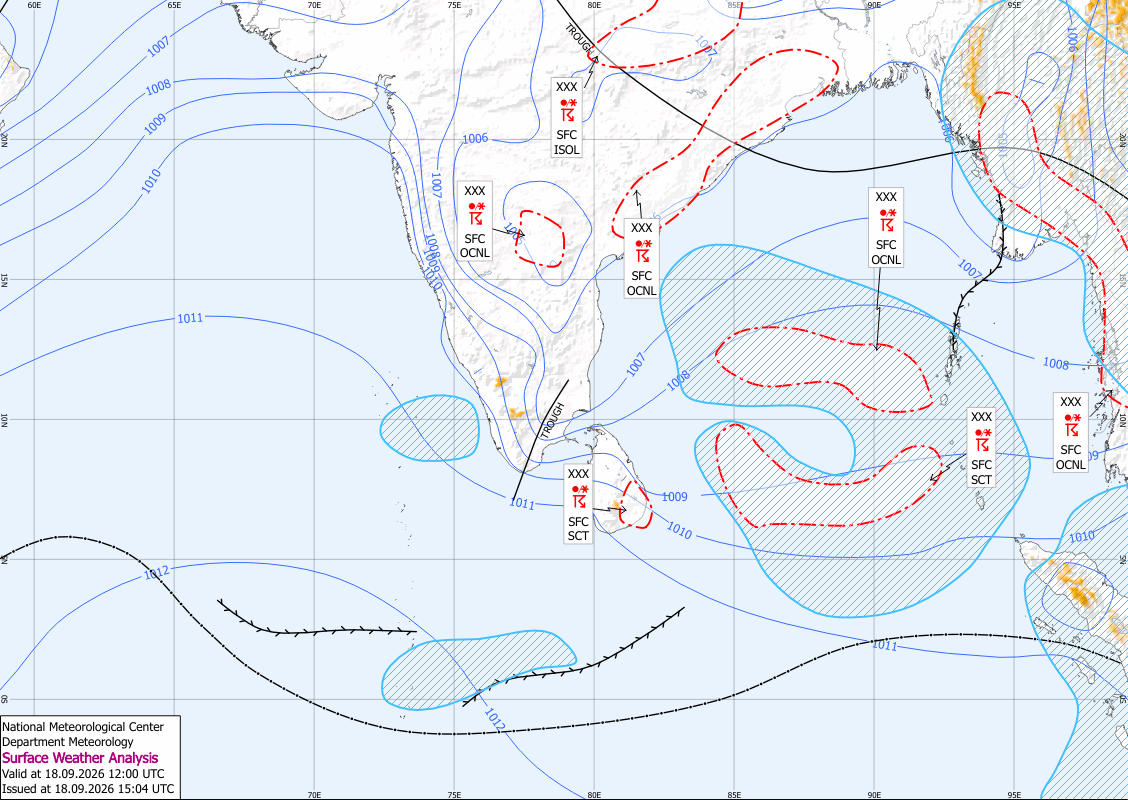
Showers may occur at several places in the sea areas extending from Puttalam to Matara via Colombo and Galle. During the evening or night, showers or thundershowers may also occur in the sea areas from Mullaittivu to Batticaloa via Trincomalee.
South-westerly winds are expected around the island, with speeds of 30–40 kmph. Wind speeds may increase up to 50–60 kmph at times in the sea areas from Hambantota to Pottuvil. Winds may also reach up to 50 kmph in the sea areas from Chilaw to Kankasanthurai via Mannar.
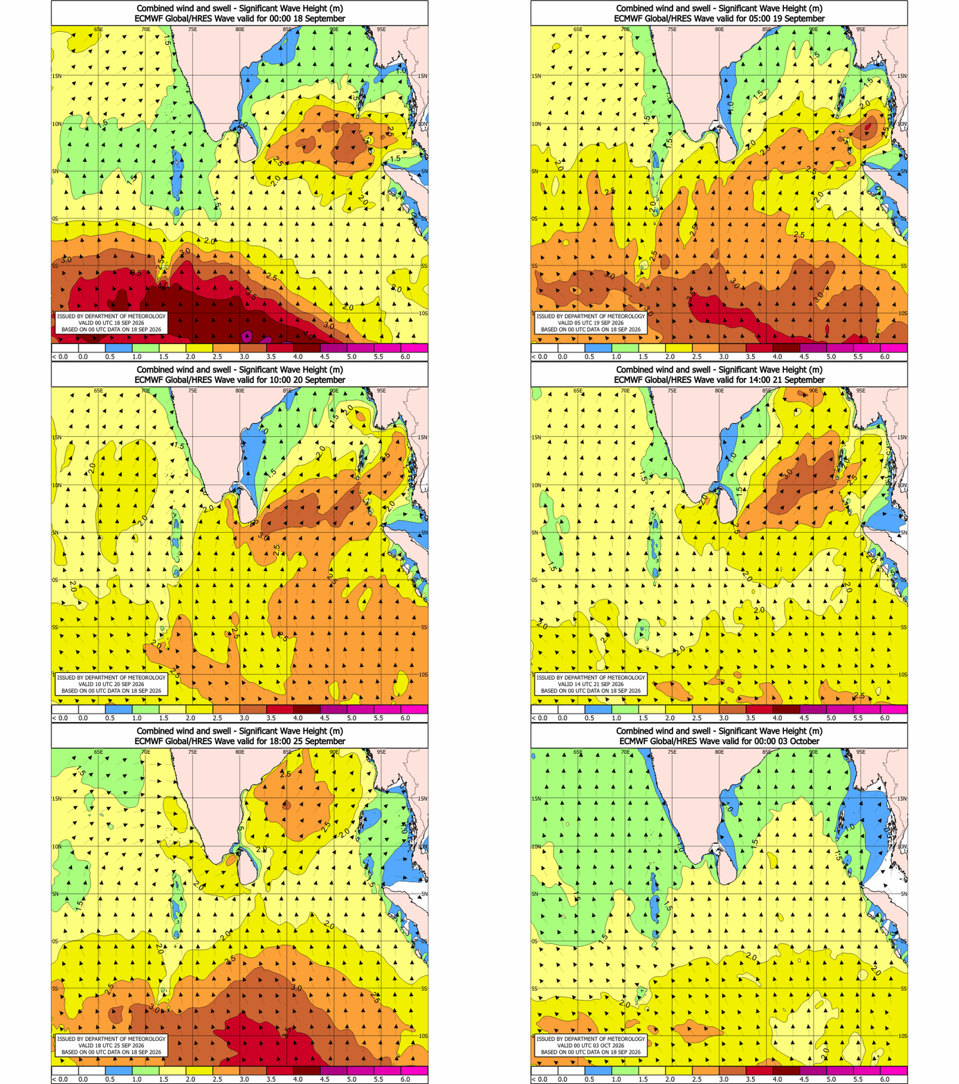
Sea conditions will be rough at times from Hambantota to Pottuvil and fairly rough from Chilaw to Kankasanthurai via Mannar. Wave heights may increase to around 2.0–3.0 metres in the sea areas from Chilaw to Pottuvil via Galle, Matara and Hambantota.
There is also a possibility of seawater inundation in near-shore areas from Beruwala to Matara via Galle. Naval and fishing communities operating in these areas are urged to remain vigilant and closely follow the latest weather updates.